|
|
| |||||||||||||||||||||||||||||||||
|
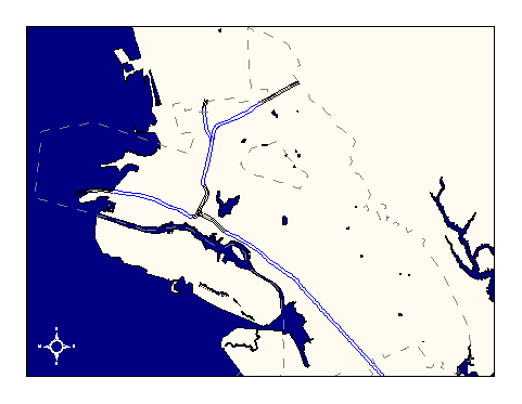
City of Oakland data set: BART surface and underground rail |
|
 |
Who maintains the data for this layer: OCIS GIS Consulting Team Data Maintainer Phone: (510) 238-6855 Who converted the data into a GIS format: Kyle Draganov, Jonathan Lowe GIS Technician Phone: unlisted Size of GIS layer (KB): 80 Size of export file (KB): 40 Where is the layer stored (on the k-drive): k:\gisdata\trans\bart.e00 This GIS layer was last updated on: 9/23/96 This metadata was last updated on: 3/20/97 This layer's FGDC category description is: Transportation |
|
Data Set Description: This layer contains BART surface and underground rail in Oakland and portions of Oakland's neighbors. Non-standard Attributes in table:
Data Source History: Jonathan Lowe selected above-ground BART line from the TIGER dataset using a query for "Name contains BART" and converted the results into a separate coverage. Jonathan later corrected the lines were later corrected to digitalorthophoto accuracy. Kyle Draganov added underground lines by selecting them out of the GIS Rail layer. Quality Check: Kyle Draganov, Earthwise consulting, checked the BART lines against a Thomas Bros. map and added a connector rail in the 12th St. Station vicinity. Kyle also increased the extent of BART rail coverage on the Richmond line as far as the Ashby BART station. Security restrictions: No security restrictions Update Frequency: No future updates scheduled. Update process:
Update process is not yet defined |