|
|
| |||||||||||||||||||||||||||||||||
|
City of Oakland data set: Census blocks and block groups (US, 1990) |
|
 |
Who maintains the data for this layer: Monica Lamboy, CMO Data Maintainer Phone: (510) 238-3674 Who converted the data into a GIS format: Julia Howlett GIS Technician Phone: unlisted Size of GIS layer (KB): 6944 Size of export file (KB): 13312 Where is the layer stored (on the k-drive): k:\gisdata\gover\cenblock.e00 This GIS layer was last updated on: 3/20/97 This metadata was last updated on: 3/20/97 This layer's FGDC category description is: Governmental Units |
|
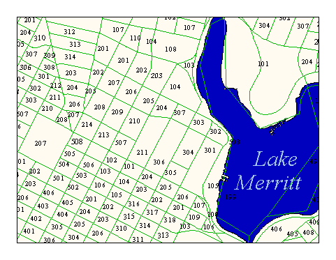
Data Set Description: 1990 US Census Tracts, Blocks and Blockgroups for the City of Oakland are nested together in this layer as regions. Blocks are the smallest unit available for Census information with street centerlines as the most common boundary. "Blocks are the smallest geographic unit of the census. They are usually small areas bounded on all sides by visible features such as streets, roads, streams, and railroad tracks, and by invisible boundaries such as property lines, legal limits, and short imaginary extensions of streets and roads." (from: Datamocracy description) Blockgroups are clusters of blocks with the same first number in a certain tract (e.g. blocks 201, 202,and 203 in tract 4001 are make up blockgroup 40012). Tracts are the next largest unit of available Census information. For a GIS layer with nothing but tracts, see the CENTRACT layer. Non-standard Attributes in table:
Data Source History: Datamocracy supplied the original dataset. Datamocracy's tech support may be contacted by email at support@datamocracy.com. Their web page is http://www.datamocracy.com/data. Their phone is (510) 430-3881. Datamocracy is a third-party vendor of U.S. Census files converted from digital TIGER products into Arc/Info coverages. When better accuracy was needed for the census boundary lines, Monica Lamboy (City Manager's Office) supplied Julia Howlett with paper maps showing the locations of the boundaries. When these paper maps were not adequate to determine the correct location of a census boundary, Julia supplied her own interpretation based on common sense and a city planner's good judgment. Quality Check: The node-to-node links between the original "tiger" coverage and the conflated "roads" coverage were saved during conflation and used as the control for an arc/info adjust command which shifted the tiger-based Census lines to the coordinate accuracy of the "streets" coverage. Later, Julia Howlett, JRH Consulting, adjusted all census boundary lines to match the coordinate accuracy of the digital orthophoto. Security restrictions: City of Oakland use only. Update Frequency: Every ten years, a new U.S. Census is published. Although the publication date is listed as, for instance, U.S. Census 2000, the actual data is not always available until years later, such as 2002 or 2003. Sometimes, corrections and/or updates to the data may be available, such as with the 1994 update to the 1990 census. Update process:
The census layers are snapshots of a single survey and are not updated once created. New census surveys are added to Oakland's GIS collection as separate GIS layers. The next census, 2000, will likely be acquired from the internet when available. |