|
|
| |||||||||||||||||||||||||||||||||
|
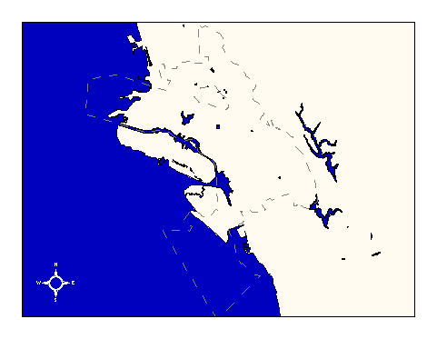
City of Oakland data set: City limits of Oakland and Piedmont |
|
 |
Who maintains the data for this layer: Joan Curtis, OPB Data Maintainer Phone: (510) 238-4779 Who converted the data into a GIS format: Jake Schweitzer GIS Technician Phone: unlisted Size of GIS layer (KB): 52 Size of export file (KB): 45.5 Where is the layer stored (on the k-drive): k:\gisdata\gover\cty_lmts.e00 This GIS layer was last updated on: 2/26/97 This metadata was last updated on: 3/20/97 This layer's FGDC category description is: Governmental Units |
|
Data Set Description: The City Limits of Oakland and Piedmont indicate the boundaries of jurisdiction between Oakland and all neighboring municipalities. They were generated by OPW and supplied to Hammon, Jensen, Wallen as a guide for planning the Digital Orthophoto flight locations. Non-standard Attributes in table:
Data Source History: Fuad Sweis of the Office of Public Works (OPW) delivered the City Limits layer to Jonathan Lowe, Local Knowledge Consulting, in AutoCAD digital exchange format file. Jonathan isolated the city limit lines from other elements using the Arc/Info command "dxfarc." The resultant coverage was already in the city's standard stateplane projection (Cal, zone III) and the appropriate datum (NAD83), so no re-projecting was required. Quality Check: The city limit boundaries were manually redigitized by Jake Schweitzer, In Situ Mappin. Joan Curtis, OPB, supplied a paper version of the city's official map (scale = 1:18,000) to use as a guide. Security restrictions: No security restrictions. Update Frequency: No scheduled update. Update process:
Joan Curtis of OPB has been designated as data custodian for this layer, but no update procedures have been established at this time. |