|
|
| |||||||||||||||||||||||||||||||||
|
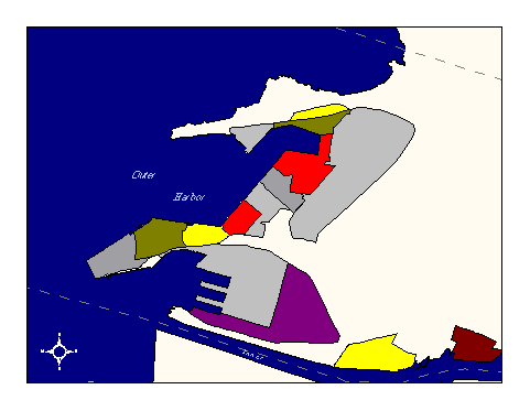
City of Oakland data set: Harbors |
|
 |
Who maintains the data for this layer: Dave Adams, Port of Oakland Data Maintainer Phone: (510) 272-1313 Who converted the data into a GIS format: Jake Schweitzer GIS Technician Phone: unlisted Size of GIS layer (KB): 111 Size of export file (KB): 149 Where is the layer stored (on the k-drive): k:\gisdata\trans\harbors.e00 This GIS layer was last updated on: 2/22/97 This metadata was last updated on: 3/20/97 This layer's FGDC category description is: Transportation |
|
Data Set Description: This layer consists of Port of Oakland shipping terminals and related facilities, such as the port rail yards and military installations. A coverage called CntainRt is a separate, related coverage which contains the Permitted Container Routes for the harbors, as well as the gate entrances to the terminals. Non-standard Attributes in table:
Data Source History: Jake Schweitzer, In Situ Mapping, contacted Dave Adams, Port of Oakland, and was given paper maps and data describing the locations of harbors. Jake digitized this data in ArcEdit using the digital orthophoto as a reference (the original maps were only reference quality, and were too inaccurate to support standard scan-and-digitize routines). Quality Check: No quality check performed to date. Security restrictions: No security restrictions. Update Frequency: No updates yet scheduled Update process:
Update process is not yet defined |