|
|
| |||||||||||||||||||||||||||||||||
|
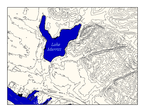
City of Oakland data set: Contour lines--index: 25' intervals |
|
 |
Who maintains the data for this layer: Fuad Sweiss, OPW Data Maintainer Phone: (510) 238-6607 Who converted the data into a GIS format: Jake Schweitzer GIS Technician Phone: unlisted Size of GIS layer (KB): 15484 Size of export file (KB): 35500 Where is the layer stored (on the k-drive): k:\gisdata\eleva\indxcntr This GIS layer was last updated on: 2/28/97 This metadata was last updated on: 3/20/97 This layer's FGDC category description is: Elevation and bathymetry |
|
Data Set Description: Elevation contour lines at 25' intervals Non-standard Attributes in table:
Data Source History: The data set was supplied by Oakland's Public Works department in the form of 306 tiled Autocad files. Jake Schweitzer converted from DXF files to coverages via ArcInfo's DXFARC command and several batch scripts in the UNIX bourne shell language. Quality Check: No quality control has been performed to date. Security restrictions: No security restrictions Update Frequency: No updates scheduled. Update process:
Update process is not yet defined |