|
|
| |||||||||||||||||||||||||||||||||
|
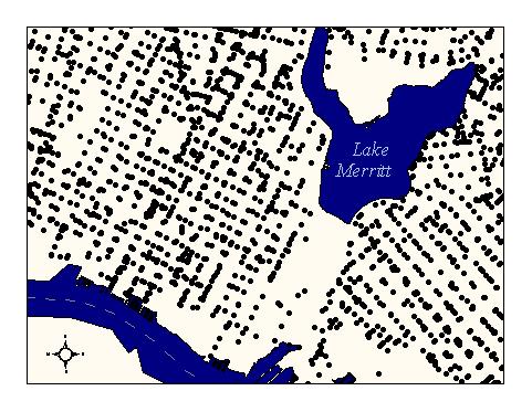
City of Oakland data set: Manhole locations |
|
 |
Who maintains the data for this layer: Fuad Sweiss Data Maintainer Phone: (510) 238-6607 Who converted the data into a GIS format: Kyle Draganov GIS Technician Phone: unlisted Size of GIS layer (KB): 2808 Size of export file (KB): 10149 Where is the layer stored (on the k-drive): k:\gisdata\other\manhole.e00 This GIS layer was last updated on: 1/28/97 This metadata was last updated on: 3/20/97 This layer's FGDC category description is: Other (Non-FGDC) |
|
Data Set Description: Manholes are access points to underground pipes and wires in the City's infrastructure network. They occur along mandated minimum spans of underground infrastructure. Hammon Jensen Wallen captured manhole locations from the Digital Orthophoto and included these lines in their AutoCAD deliverables along with street centerlines, SPOT elevations, contours, etc. Also, OPW engineers captured manhole locations with identification numbers in their AutoCAD "sewer sheets." Non-standard Attributes in table:
Data Source History: Kyle Draganov of Earthwise Consulting combined and corrected the City of Oakland, OPW AutoCAD drawings into a single sheet and extracted the manholes for the whole city from these sheets using Arc/Info's shapearc & append utilities. Then the single layer was corrected to coordinates set by CH2M Hill. The result was an Arc/Info coverage of manholes. Quality Check: Kyle Draganov, Earthwise consulting, corrected the layer to Digital Ortho accuracy from 306 AutoCad layers after appending them into 1 ArcInfo coverage. Kyle had two coverages of manholes, one with accurate attributes and the other with accurate geometry. Using the nearest neighbor link, Kyle conflated the attributes to the geometry of choice in ArcInfo. Security restrictions: No security restrictions on this layer Update Frequency: No updates scheduled. Update process:
Update process is not yet defined |