|
|
| |||||||||||||||||||||||||||||||||
|
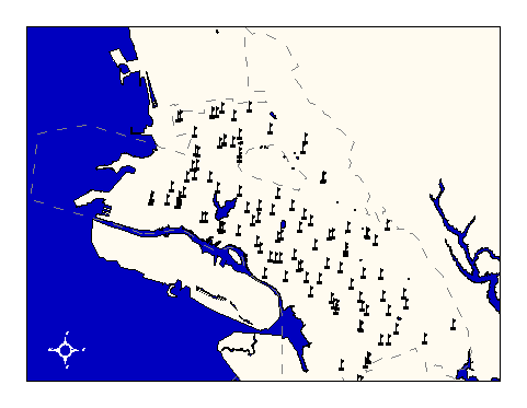
City of Oakland data set: School locations, K - 12th grades and day-schools |
|
 |
Who maintains the data for this layer: Gil Brenum Data Maintainer Phone: (510) 879-8112 Who converted the data into a GIS format: Jonathan Lowe GIS Technician Phone: unlisted Size of GIS layer (KB): 152 Size of export file (KB): 187 Where is the layer stored (on the k-drive): k:\gisdata\gover\ousdsite.e00 This GIS layer was last updated on: 2/27/97 This metadata was last updated on: 3/20/97 This layer's FGDC category description is: Governmental Units |
|
Data Set Description: This layer contains location and contact information about all public schools within the City of Oakland limits. It does not contain parochial or private school locations. Non-standard Attributes in table:
Data Source History: Gil Brenum of Oakland Unified School District delivered a text file of school names and addresses to OCIS. The addresses were geocoded to the enhanced and reprojected Tiger streets layer, resulting in a point coverage. The points were adjusted using the same conflation links applied to the "oaktiger" coverage using the Arc:adjust command in Arc/Info. This brought the points into closer coordinate accuracy with the "streets" layer. Jonathan Lowe added annotation to the layer for each school's name. Quality Check: No quality control procedures were performed on this layer. Security restrictions: No security restrictions. Update Frequency: No scheduled updates by OCIS. Update process:
OUSD will notify OCIS GIS staff when updates to the school layers are required and will supply OCIS with shapefiles for conversion to ArcInfo coverages. |