|
|
| |||||||||||||||||||||||||||||||||
|
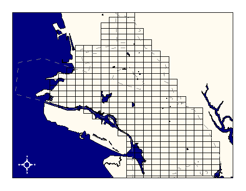
City of Oakland data set: Sewer grid from NAD27--historic reference |
|
 |
Who maintains the data for this layer: Fuad Sweiss, OPW Data Maintainer Phone: (510) 238-6607 Who converted the data into a GIS format: Kyle Draganov GIS Technician Phone: unlisted Size of GIS layer (KB): 440 Size of export file (KB): 603 Where is the layer stored (on the k-drive): k:\gisdata\other\sewr_grid.e00 This GIS layer was last updated on: 1/2/97 This metadata was last updated on: 3/20/97 This layer's FGDC category description is: Other (Non-FGDC) |
|
Data Set Description: Because the grid systems are referenced by the coordinates of each grid's lower left corner, the change from use of North American Datum 1927 to NAD 1983 made the original sewer grid obsolete. However, the legacy data from the NAD27 period of operations sometimes requires a reference to the original grid which is represented by this layer. Non-standard Attributes in table:
Data Source History: Fuad Sweiss (OPW) delivered the grid coverage to Jonathan Lowe (LKC) as an AutoCAD digital exchange format file. Jonathan isolated the grid lines representing NAD27 sewer tile boundaries from other elements using the Arc/Info command "dxfarc." The resultant coverage was already in the city's standard stateplane projection (Cal, zone III) and the appropriate datum (NAD83) and so was not reprojected. (This may seem confusing--the grids represent the locations of an NAD27 system, but are projected in an NAD83 system.) Quality Check: No quality control activities performed to date. Security restrictions: No security restrictions Update Frequency: No updates scheduled (static layer) Update process:
Update process is not yet defined |