|
|
| |||||||||||||||||||||||||||||||||
|
City of Oakland data set: Streets (center-of-pavement lines) |
|
 |
Who maintains the data for this layer: Joan Curtis, OPB Data Maintainer Phone: (510) 238-4777 Who converted the data into a GIS format: Kyle Draganov, JWL, & JHS GIS Technician Phone: unlisted Size of GIS layer (KB): 9600 Size of export file (KB): 18772 Where is the layer stored (on the k-drive): k:\gisdata\trans\streets.e00 This GIS layer was last updated on: 3/19/97 This metadata was last updated on: 3/20/97 This layer's FGDC category description is: Transportation |
|
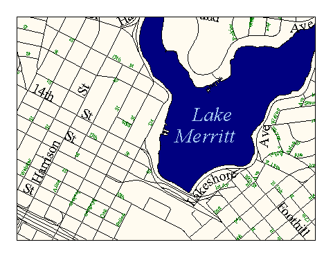
Data Set Description: This data set delineates the center-of-pavement of streets, freeways, and overpasses for the Cities of Oakland and Piedmont. Similar to a TIGER street file, but with higher coordinate and attribute accuracy, "Streets" captures data on each block's address range on both sides of the street, the name and type of street or freeway, and the zipcodes on each side of the street, (however, attribute data accuracy is not guaranteed within the City of Piedmont). "Streets" is suitable for geocoding functions. Non-standard Attributes in table:
Data Source History: Linework: Hammon, Jenson, Wallen & Assoc. captured centerlines from a 1:40 scale digital orthophoto flown by (Pacific Aerial Surveys) in a semi-automatic process. Streets concealed by thick vegetation were inferred from paper maps in the Office of Planning and Building (see Q/C history).Conflation of "tiger" attributes: HJW's centerlines were delivered to OCIS in autocad format. Jonathan Lowe (LKC) separated the autocad files into 306 tiles corresponding to the orthophoto tiles. Jonathan then opened all of the autocad files Arcview2.1 where he isolated the centerlines from other autocad layers, merged the 306 tiles into a single line shapefile (Avenue script: merge), and converted the shapefile into an unintelligent arc/info coverage called "roads." He then copied the attributes from the "tiger" streets file to the corresponding lines of the "roads" coverage using an arc/info process called conflation.Attributes: Conflated "tiger" attributes in the "roads" coverage were then corrected by comparison to OPB Sanborne and other maps. Each street segment was checked individually by a team of five GIS analysts. The final, fully corrected coverage was named "streets." This task was overseen by Kyle Draganov, Earthwise Consulting. Quality Check: The streets centerlines editing was performed and overseen by Earthwise consulting with the help of 4 other consultants. All address ranges and street names were copied and verified using circa 1920's linen and 1905 Sanbourne maps in the City of Oakland's Office of Planning and Building. These maps were the most up-to-date "gold standard" available and contained the only source of many years of hand-drafted updates. Any centerlines not represented on the gold-standard paper maps were then checked and completed by Joan Curtis of the OPB.An additional quality control check was performed indirectly by Jake Schweitzer, In Situ Consulting, during the establishment of an annotation layer for the "streets" coverage. Jake reported streets missing names or having incorrect names to Kyle Draganov for correction. Security restrictions: Public layer--no security restrictions Update Frequency: As data changes (average apprx. 10 changes per year) Update process:
Joan Curtis of OPB adds new streets as they are built or found missing and updates the data using ArcView 3.0. After she has made edits it is necessary to build the coverage again in ArcInfo and correct any item distortion that may occur in conversion. OCIS GIS staff perform the ArcInfo conversion and post the updates to the k-drive. A detailed update process flow description exists in k:\gisdata\metadata\update.doc (a MS Word document). |